Max elevation: 1495 ft
Min elevation: 697 ft
Total climbing: 2682 ft
Average temperature: 14.2
Total time: 09:50:22
Like any good trip, the day started with a minor mishap. As I was about to roll my bike out the door of my hotel, I remembered that I’d forgotten to top up the air in my tires. I figured this would be a worthwhile 5 minute effort, and after pumping the front and rear, as I went to unscrew my mini pump from the rear tire, I realized the pump had “grabbed” the valve core and the tire quickly deflated.
A not-so-brief word about tires… For whatever reason, there are two standard valve types on bicycle tires: Schrader, which is the value you’re probably familiar with from automobile tires, and Presta, which I’m told is a European standard.
I first travelled to Europe in my mid-20’s, and like many Americans experiencing “the continent” for the first time, I returned full of praise for the many superior aspects of Continental culture. From the excellent food, to the fabulous train systems, to the centuries-old buildings, I was sold that if America had it, it was likely better and more sophisticated in Europe.
As an older and wiser man, I’ll certainly trust a French baguette over whatever garbage is available at my local grocery store, but will pass on the Presta valve, a design that seems like it intentionally offers a 50/50 chance of catastrophically deflating your tire immediately after you’ve expended the effort to fully inflate it. After lamenting these technicalities, and finally having a bike with two inflated tires and a great deal of sweat on my brow, I donned my COVID mask, rolled out the door, and pedaled onto the Three Rivers Heritage Trail, which would take me from more or less the door of my hotel, to Point State Park, the official start of the GAP.
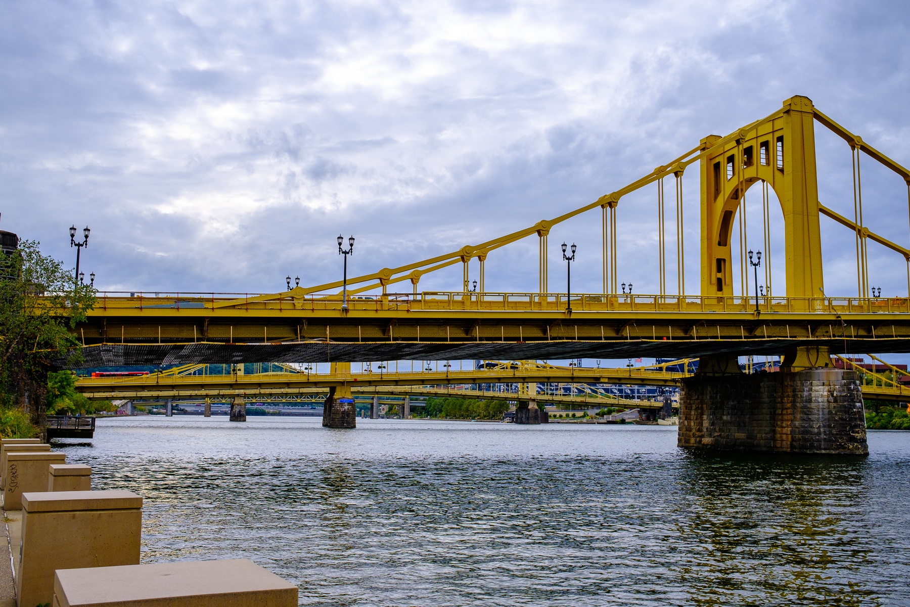
This trail passes several of Pittsburgh’s half-dozen steel bridges, spans that seem to say “Look, we not only can melt the iron, we can also fashion it into something useful and beautiful.” It was a nice introduction to the gradual journey I’d take back through the history of steel and industry over the coming days.
Once at a fairly quiet Point State Park, I paused for the obligatory “I’m riding the GAP!” photo. The faint rainbow is a work of physics rather than Photoshop, and I took it as a good omen for the journey ahead.
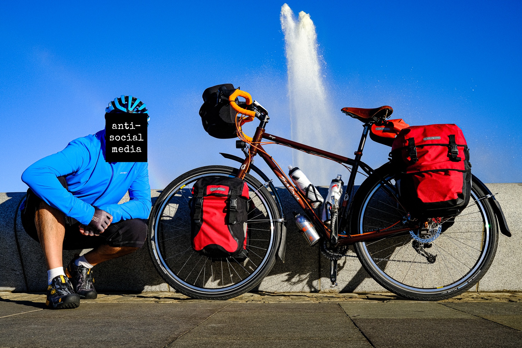
After a quiet moment of reflection about the journey that lay ahead, I hopped onto my mist-dampened saddle, and made my first few pedal strokes along the GAP, or at least one of the two urban paths that lead to what might be described as the trail proper.
I chose a narrow pathway next to an overpass, and thankfully my wide load and I didn’t encounter anyone moving in the other direction, lest one of us would have been forced to retreat. The trail then hugged the bank of the Monongahela River, passing behind office buildings and parking garages, eventually hanging a right and crossing the Hot Metal Bridge, which has gone from transporting rail cars of molten metal (hence the “creative” naming) to the more mundane cargo of pedestrians, cyclists, and vehicles.
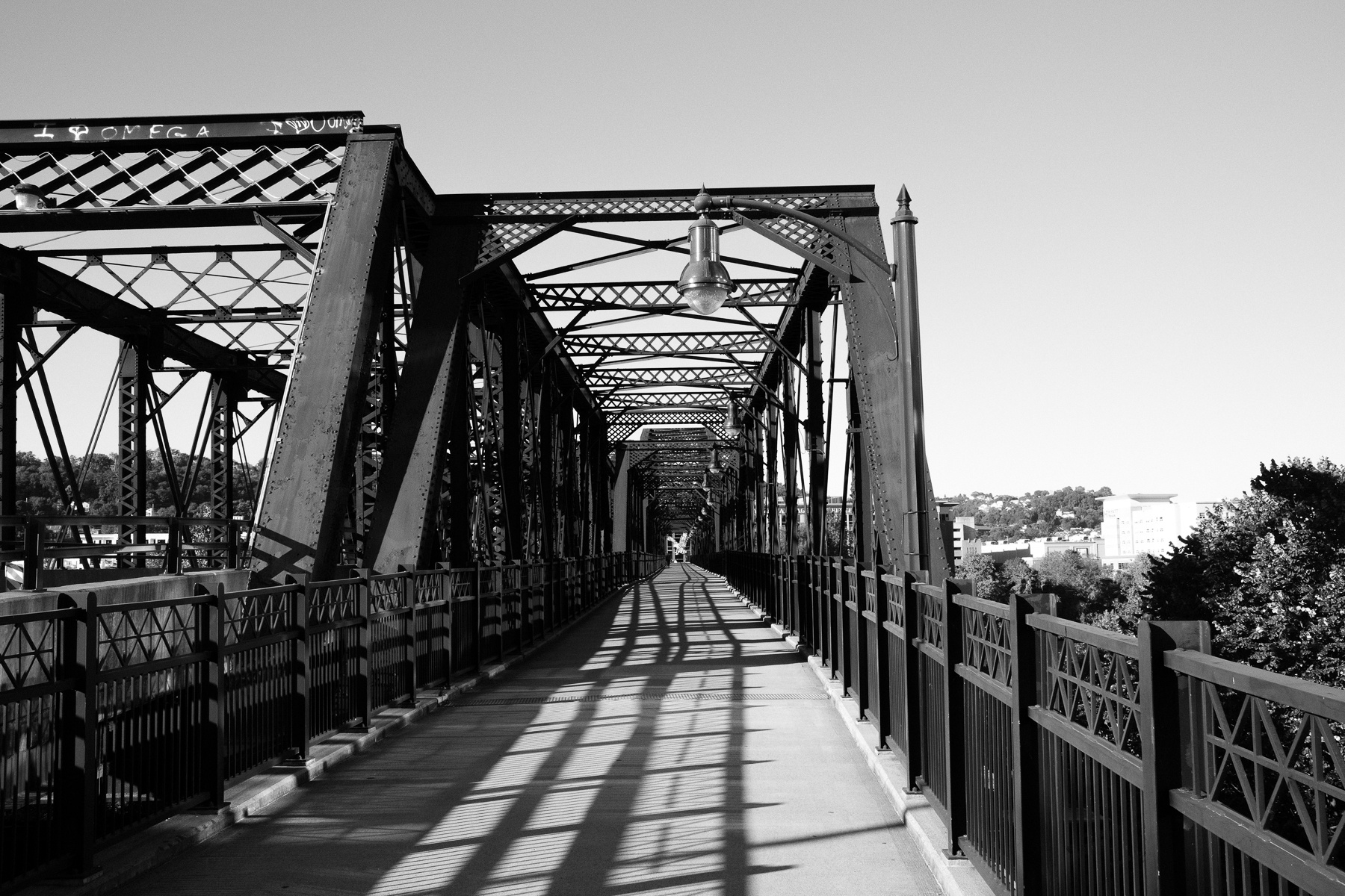
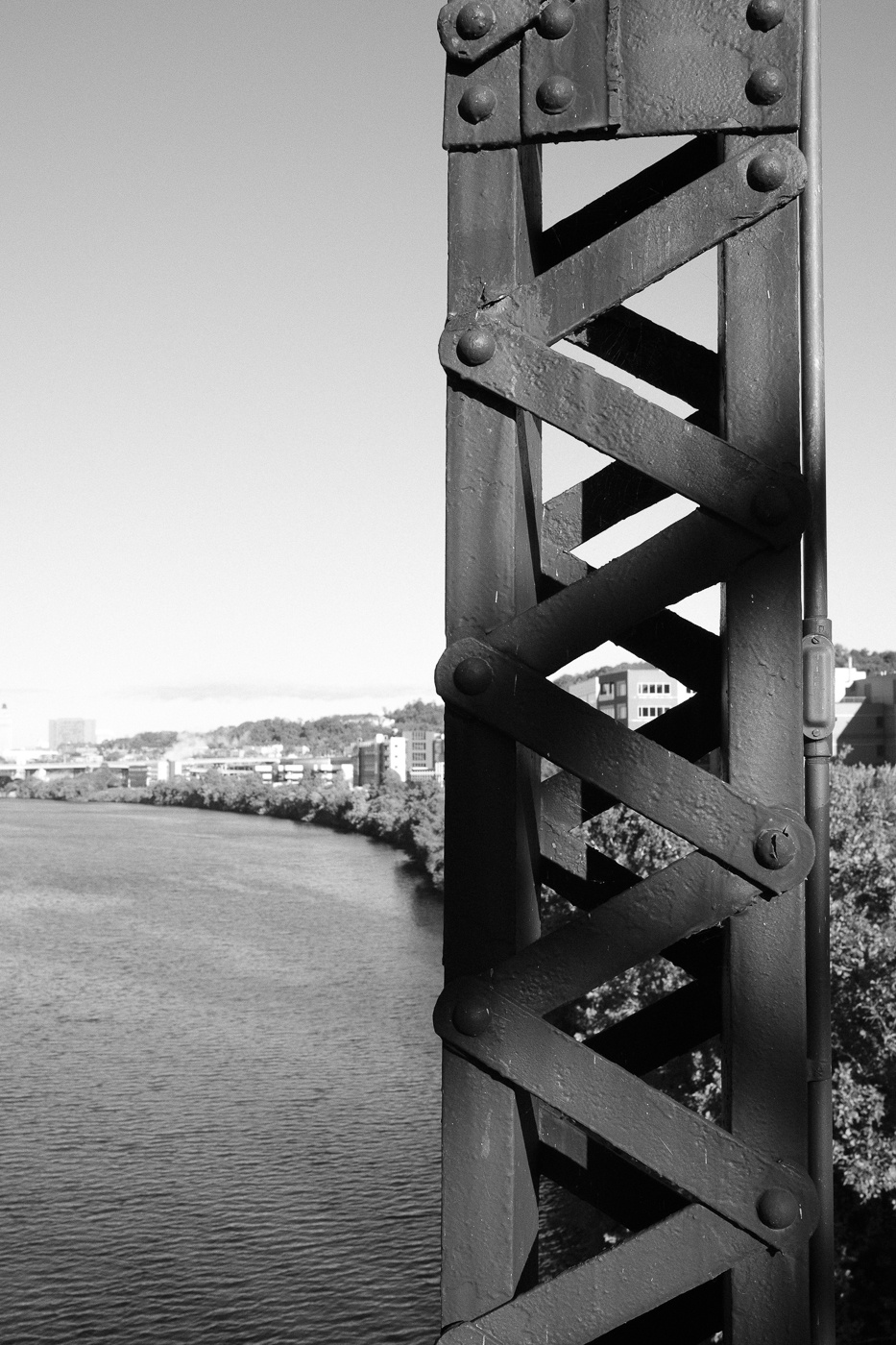
I took my last glance at the city of Pittsburgh, once again my host for a matter of hours before I went into the more remote parts of these grand United States.
After the Hot Metal Bridge, the trail cruised by the Pittsburgh Steelers training facility, and in a sign of the times, through the fencing I noticed a portable COVID “testing trailer,” a bit of an eyesore in front of what looked like a nice set of buildings, plastered with various signs that to admonish men who were paid to smash into each other to wash their hands and cover their coughs.
The trail continued along the river, passing a sad-looking unoccupied waterpark, various hotels and shopping centers, and industrial sites, both functioning and vacant.
I crossed over railroad tracks as a train lay hissing and stationary, like a snake lazily absorbing a bit of sun before slithering off to parts unknown.
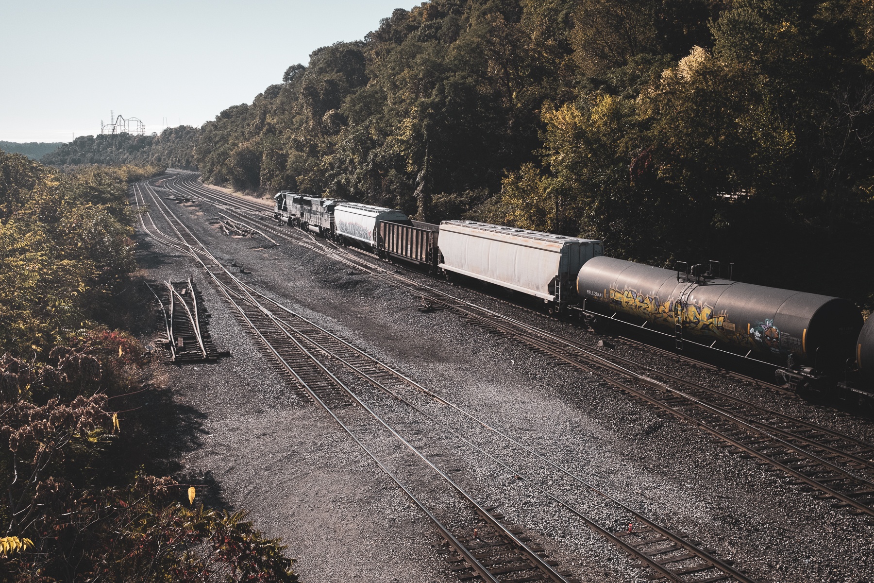
The trains would be a constant companion for the trip, as I was riding over an old railroad bed and the bridges and towns designed to serve the railroad as it carried the men and material to feed the steel industry of a growing country.
Another of my great grandfathers, whom I’d never met, worked the railroads of Pennsylvania. I have no idea where or if he’d ever travelled these same tracks, but in my imagination I was connecting generations of the family as my “iron horse” rolled across a ghost railway, while active trains rumbled somewhere just out of sight.
An interesting feature of a trail like this is that you’re not alone, nor are you the only one aiming to complete the entire journey. In the first dozen miles I passed a pair of riders who I’d see on and off for the next several days, generally in a town at mealtime, or in this case, stopping as a train hauled its load through a crossing. Seeing others provided a nice balance to this particular set of trails. For 20-30 minutes at a time, you’d feel like the only human on an abandoned planet, sure that there was not another soul anywhere nearby. Then, someone would pass in the other direction with a nod or perhaps a ring of their bell and a “hello,” only to disappear as quickly as they’d arrived. There was the perfect amount of solitude combined with the assurance that help wasn’t too far away should something go wrong that required assistance or at least provision some moral support.
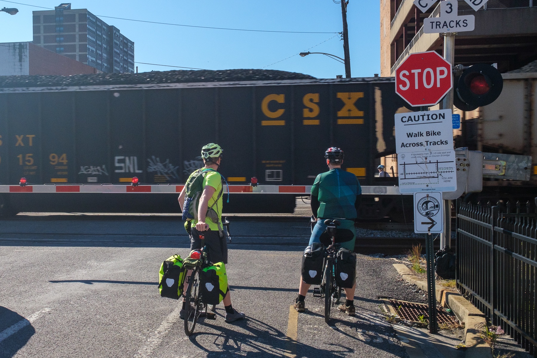
The trail runs through various towns along the way, many of which offer services to passing cyclists ranging from basic general store-type operations, to restaurants and bicycle shops. The first town of McKneesport seemed rather sleepy when I rolled through early in the journey, and was relatively uninteresting save for the second minor incident of the day.
As I’d discover, when you neared towns the number of walkers and day cyclists would obviously increase, and it was great to see people enjoying and using the trail. I’d suspect, or at least hope, that locals would be thrilled to see an abandoned railroad converted into something useful, and perhaps sing the praises of projects like the GAP to other communities and eventually create more of these routes around the country.
I’d passed dozens of others enjoying the trail as I pedaled out of McKneesport, when I saw a man with two large off-leash dogs up ahead. I own a dog and certainly understand the joys of a four-legged friend, but I simply don’t grok those that take their animals into public spaces without a leash. I’m sure Fido enjoys the ability to romp a bit, but the risk of everything from running off, to being hit by a car, to the topic of our next incident seems too great to make leash-less walks on public pathways worthwhile.
I had a bad feeling about this dude and his dogs, especially as his dogs became visibly more agitated as I approached and he shouted out the famous last words I almost always hear before being jumped on or otherwise harassed by an off-leash dog: “DON’T WORRY! THEY’RE ‘FRIENDLY!'”
Seconds after he uttered these words, I felt an odd feeling on my left leg, and looked down to find one of the dogs had my lower leg completely in his mouth. I wasn’t sure what type of “friendly” gesture this involved, so I shouted at the dog and unclipped my foot, at which point he bit my front pannier only to retreat as I cocked my bitten leg for a swift kick should this “friendliness” continue.
I looked at my leg and noticed no blood in the minor divots left by the dog’s teeth. I was in no mood for police reports, tetanus shots, or fisticuffs with this jackhammer of a human, so I told him to leash his stupid animals lest they end up being put down due to a complaint by someone less lucky or forgiving, and off I went.
It took a couple of miles to shake off my anger at this idiot, but other than some dog spit on my leg and panniers, and a frayed nerve or two, all was well on my end, so I resolved to put the incident behind me and pedaled on.
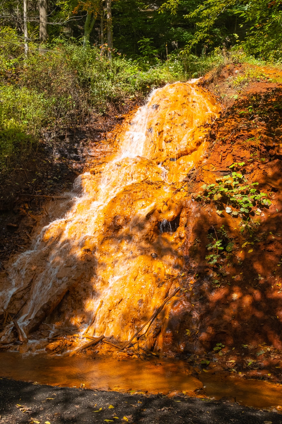
The trail was now “in the woods,” following the course of the Youghiogheny River. I passed the famous (or infamous?) red, white, and blue-ish creeks, signs of the coal and iron mining that had occurred here and driven demand for the railroad. The white river looked like an unseasonably icy river, the “blue” river was merely lightly tinted, but the red river was obviously “iron rich” and drinking its water might cure any iron deficiencies from which one was suffering.
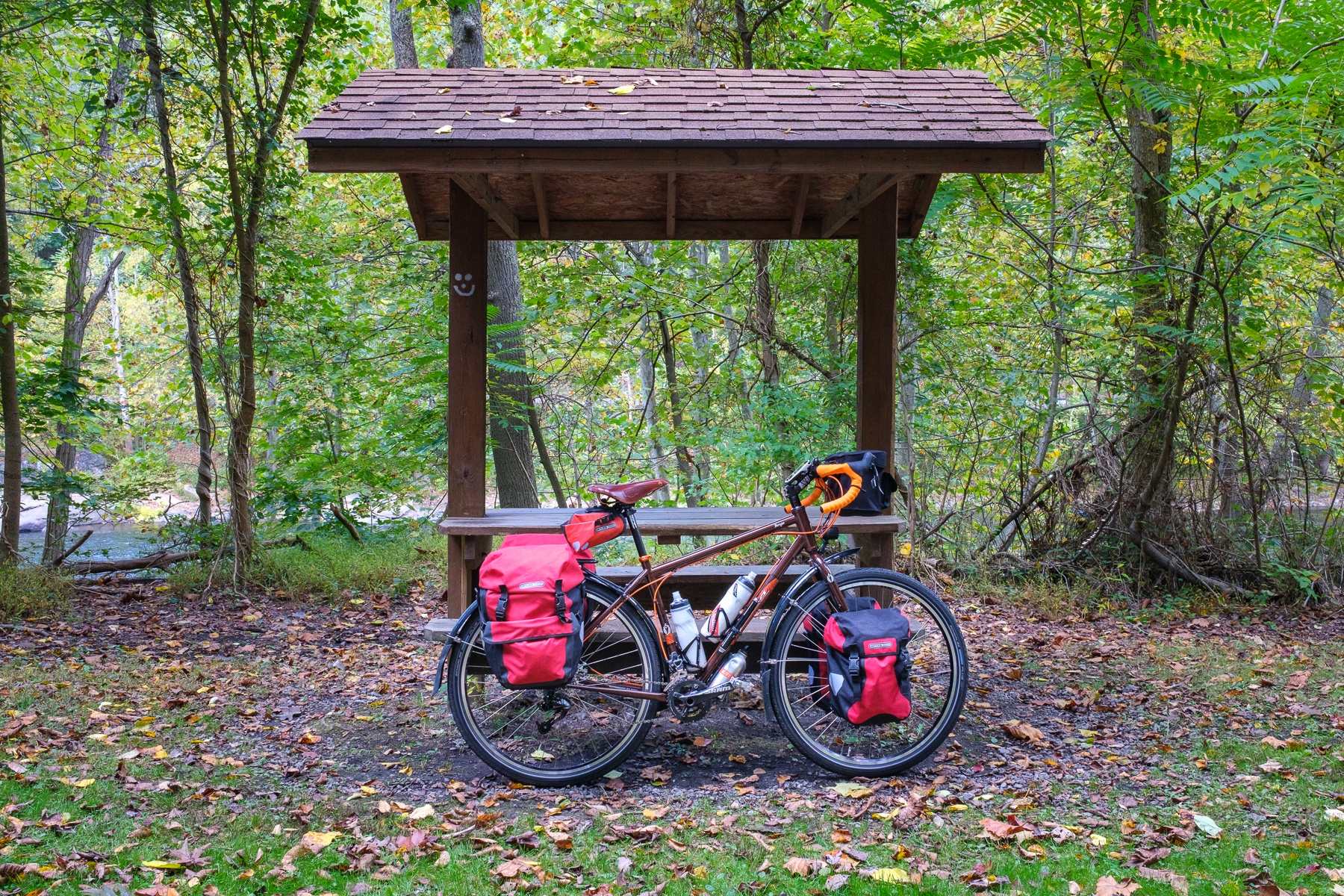
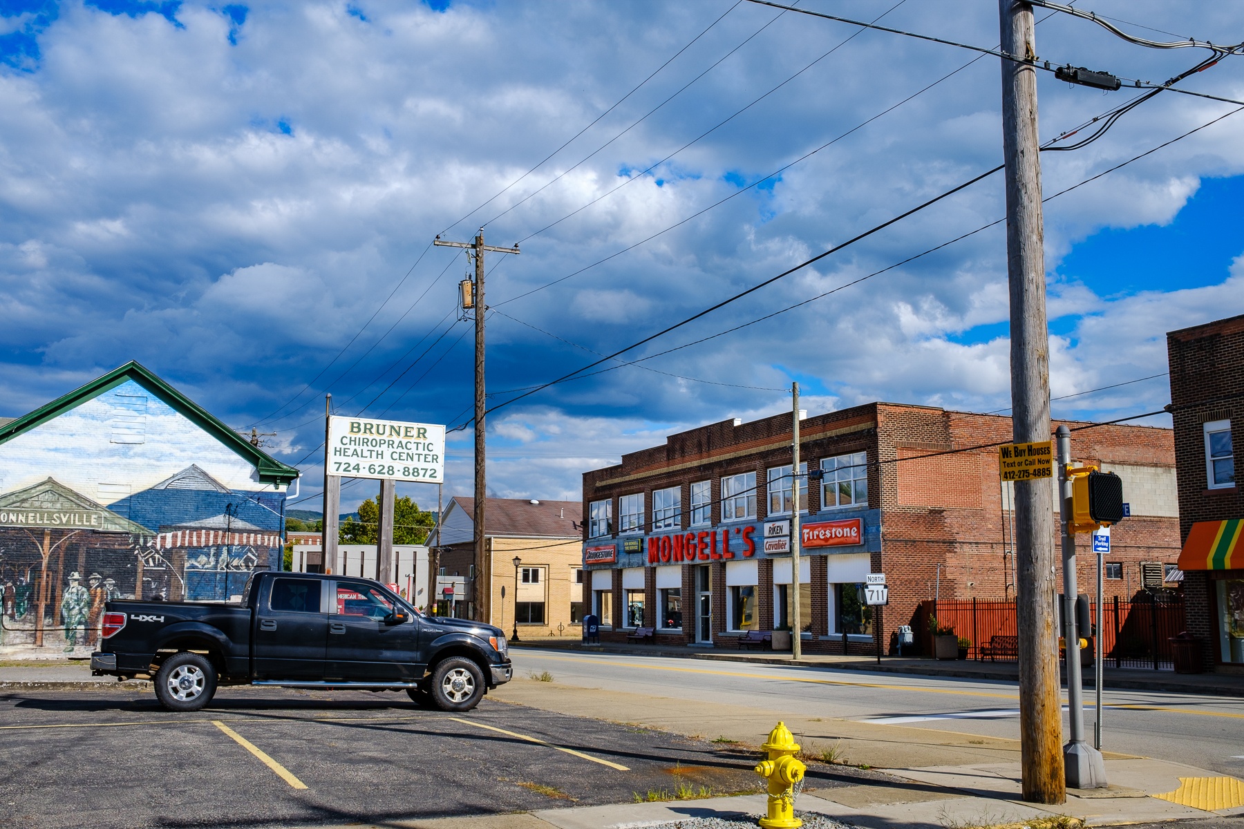
My overall plan for the trip was to average about 60 miles each day, and that put Connellsville, PA as my stop for the evening. I got there around 3PM, with the sun shining and legs that still felt like they had some life left in them. The town had a nice (and I would discover the last one I would see) free campsite with 3-sided lean-to’s for cyclists and hikers, and seemed to have a fair amount of services, yet I decided to press on and passed the campsite, and then rolled through the rather quiet city center.
It’s about 18 miles from Connellsville to the amusingly named (at least to me) Ohiopyle, and it’s also the start of the gentle uphill that ultimately climbs about 1800′ over the course of 45 miles or so. This is done via 1-2% grades, so certainly not difficult climbing by any means, but it definitely nocked 1-1.5mph off my average speed.
The area to and from Ohiopyle is state park, and really brought home the feeling of remoteness I described earlier. The trail was lovely and in perfect condition, creating little more than the sound of rolling tires and the thoughts inside one’s head.

I hadn’t seen much in the way of wildlife, but at a stretch where I hadn’t seen any people for some time, I noticed two moving brown blobs on the trail ahead. As I got closer, I realized it was two bear cubs. I’ve run into black bear before, once quite literally as I came across a bear while running on the roads of NH. In that encounter, I stopped, we looked at each other, and then since he/she refused to yield I turned around and ran the other way.
I’m not particularly worried about bear encounters except when it comes to cubs and mama bears, and the latter was nowhere to be seen. The cubs kept crossing the road back and forth, and were obviously enjoying themselves, but I didn’t see any signs of mama and wasn’t sure which side of the road she might be on. I started ringing my bell, and calling out the odd but universal “HEY BEAR!” call.
The cubs paused in their antics, looked at me, and then ambled off the trail. I gave them another minute, and still seeing no signs of mama bear, continued my dinging and “HEY BEAR’ing,” slowly approached, and then put it into high gear while looking for a rush of brown, rather foolishly hoping that I could outrun an animal known for short 30mph sprints on my beast of a bike.
Apparently mom and cubs had gone elsewhere, and we parted friends. I rode on happy I’d seen large mammals apparently having as much fun on the trail as I was.
Right outside the town of Ohiopyle, there’s a bridge that crosses the river, and made for some wonderful early fall color.

The town itself seemed cool, and a nexus for outdoor activity ranging from rafting and canoeing, to fishing, camping, and of course cycling the GAP. Town was rather quiet, with several of the restaurants closed, but I got a passable burger although was stymied in my quest for beer. It seemed the towns I stopped in for lunch always had a beer available, yet at dinner it was rare.
I’d established a “policy” for the trip to eat in restaurants for lunch and dinner (I was fasting for the breakfast period) to try and bring some tourist dollars into town, and for the most part outdoor seating was available and restaurants were open and glad to see patrons. This dinner was the first time I felt legitimately chilly once I stopped riding, and my wool hat and nanopuff jacket made their first of many appearances as I wolfed down some dinner before heading to camp.
The “trailside” camping in Ohiopyle was in the Ohiopyle State Park, and a sign helpfully directed me to the side trail to the campground, which was a few tenths of a mile back in the direction I’d come. The trail quickly turned steep, and signs suggested there was 0.3 miles to camp, and to dismount the bike.
This was a bit of an unplanned game of “hike a bike” and my GPS reported the grades went up to 18%, so on one hand I was glad I hadn’t attempted to climb the rough trail on a loaded bike, yet on the other hand cursing as I pushed my heavy steed via twisting handlebars uphill.
Once in the campsite, it seemed there was a large section of RV and “drive in” type camping, and a smaller section of what was termed “Walk-in” sites. After some exploring I found a suitably flat “walk in” site on the left after coming up the trail, and it was pleasantly isolated. I setup camp for the first time on the trip, and despite assurances from my phone and satellite communicator that there was a 0% chance of rain, I ultimately added the rain fly being on a first-name basis with Mr. Murphy and his Law.

As the sun set, I discovered my headlamp had somehow turned on during my travels and was just about out of battery, but I was able to charge it from my battery pack, and my little USB lantern had not suffered the same fate. As the sunlight dimmed, a light drizzle arose and I hopped into my tent during a gap in the showers, assuming this was a passing squall.
The drizzle quickly increased to a full-on pour as I pulled on my sleeping bag hood, checked the rain fly, and was soon fast asleep.


0 Comments