Max elevation: 2406 ft
Min elevation: 504 ft
Total climbing: 1575 ft
Average temperature: 11.9
Total time: 08:38:54
What had seemed like an early chill to the air the night before had turned downright brisk in the evening. A combination of fall weather and altitude (Meyersdale sits at about 2000′ versus Pittsburgh’s 700) had pulled temperatures below freezing during the night. Your faithful correspondent being full of hot (and moist) air, the inside of my tent had several thin sheets of ice in the morning, and it was one of those mornings where I’d don an item of clothing, retreat back into my sleeping bag to warm up, and then repeat the cycle for the next article of clothing, until fully dressed and somewhat warm.
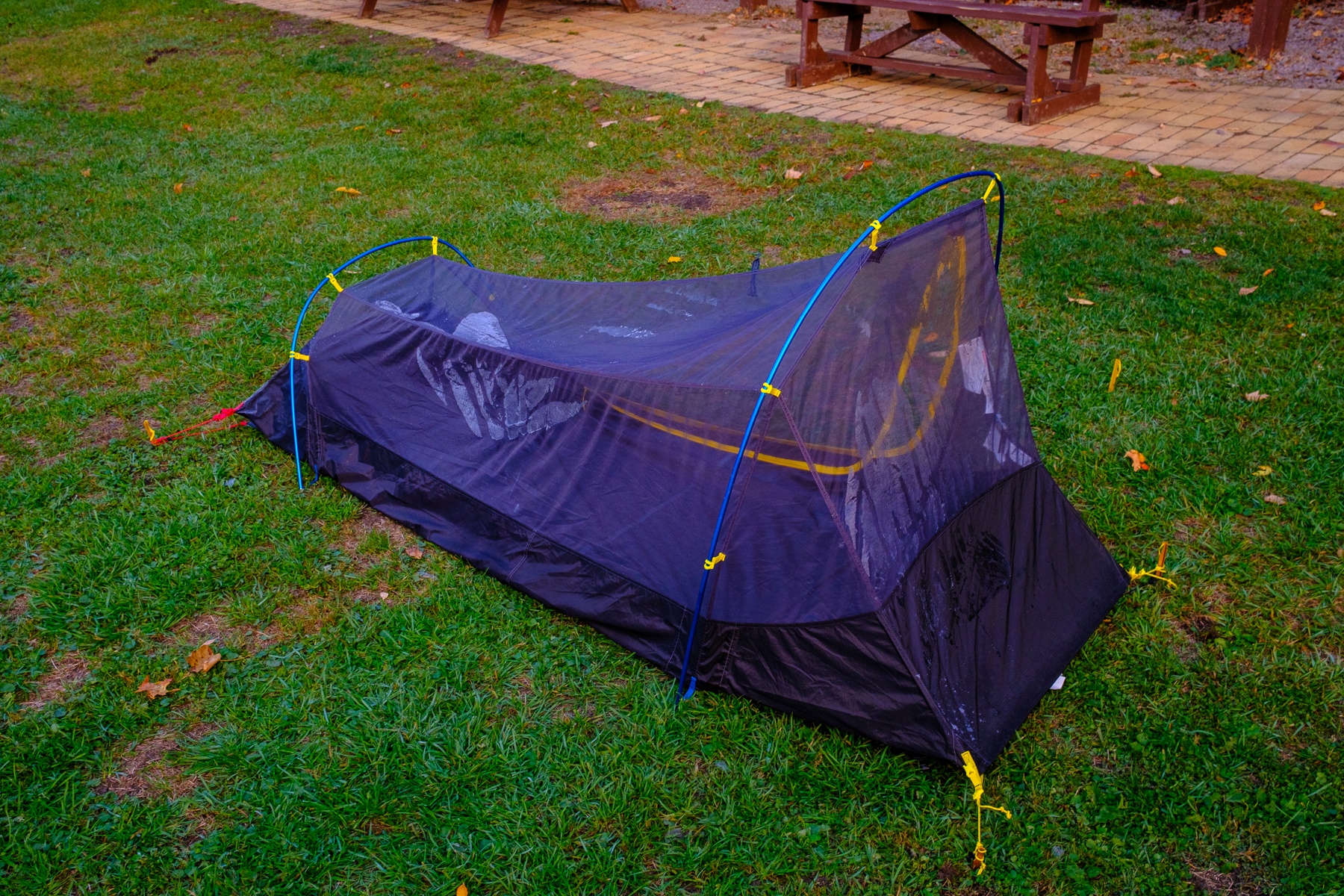
Even with nearly every article of clothing on, I was still shivering and wondering how I’d get packed up and moving on the bicycle, relishing the thought of riding up the short, steep hill out of town to get the blood flowing and delivering warmth to my limbs.
At that point, I remembered the wonderful bath house, and at the moment I wouldn’t have traded the splendor of the (presumably unheated) Taj Mahal for the comparative squalor of the bath house due to the miraculous gas heater therein. I shivered my way over, and found the bath house a good 10 degrees warmer. I set the heated to “turbo,” and enjoyed the morning’s “business” while I warmed up.
With the shivering stopped, I donned my cycling clothes, and skipped the formalities of making coffee myself, walking down to a nearby gas station for a cup of anything warm and caffeinated. I packed up camp quickly and started cycling, the brief climb having the desired effect of elevating my heart rate and generating some heat as I returned to the trail.
I was quite excited about the third day on the trail. It was the day I’d cross the eastern continental divide, roll downhill and enter the first major tunnel of the trip, cross the Mason Dixon Line, and then make the transition from the GAP to the C&O. The map below, a rather famous photo stop inside the tunnel at the divide, shows the profile of the trail from Pittsburgh on the right, to DC on the left, and while the scale exaggerates the drama of the decline from the divide, it does show the comparatively slow climb from north to south, followed by the steep descent down to Cumberland and then slow roll downhill to DC.

The emerging sun and warmth of a steady, light effort caused me to repack my nanopuff jacket, establishing a happy balance between body heat and external cold. I’d seen pictures of the Great Divide from other travel journals, and what must look like a mundane or even unnoticeable bit of “road furniture” from the roadway above was an elaborately illustrated tunnel that marked the end of my climbing and a point of celebration for riders coming from either direction.
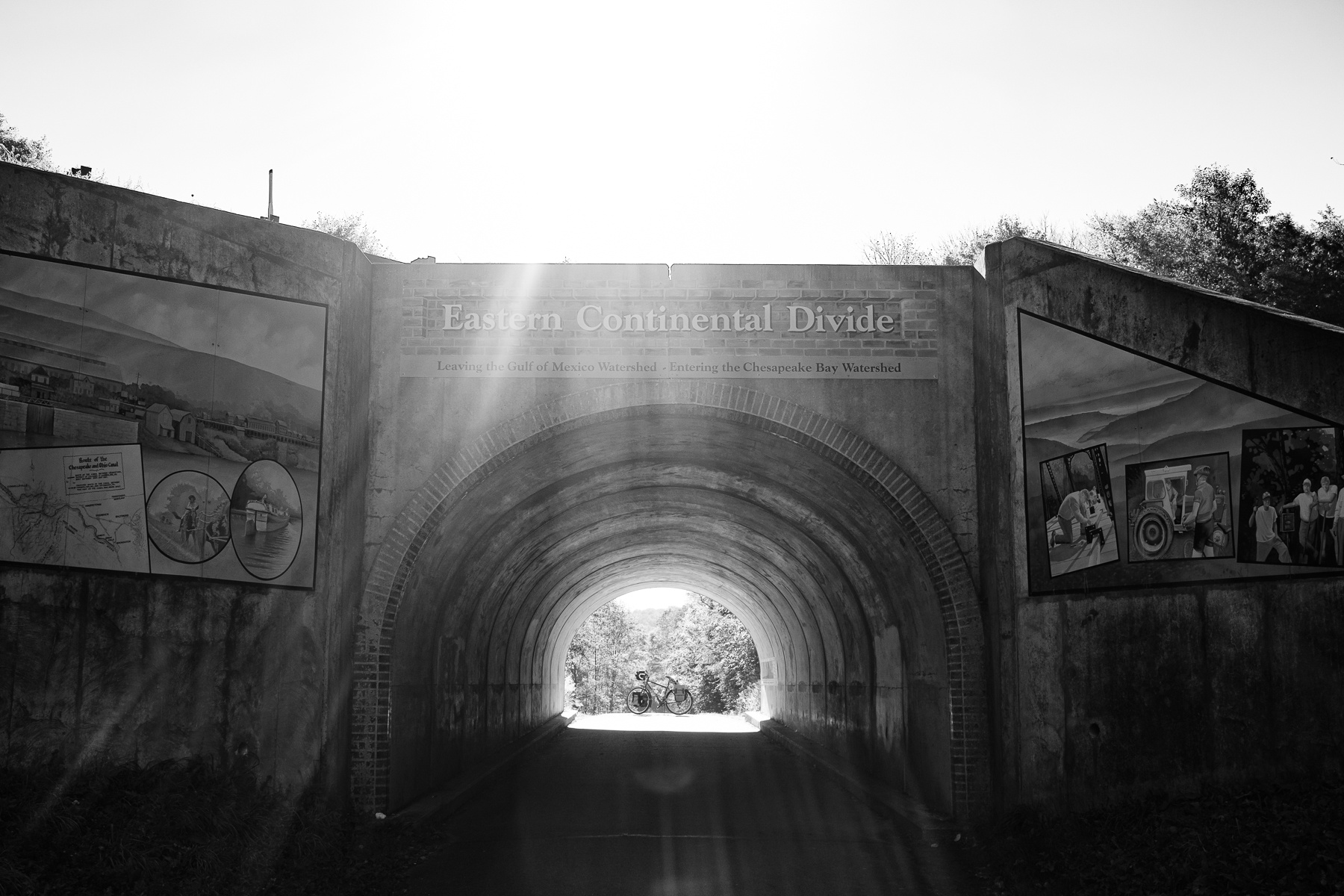
The sun was coming up in the east, and backlit the divide tunnel as I approached. The “climbing” of the previous days had certainly been unremarkable, but it was noticeable in that it seemed like an omnipresent force that extracted just a tiny bit of forward speed. With sun shining and blue skies, I celebrated my journey thus far, and life in general.
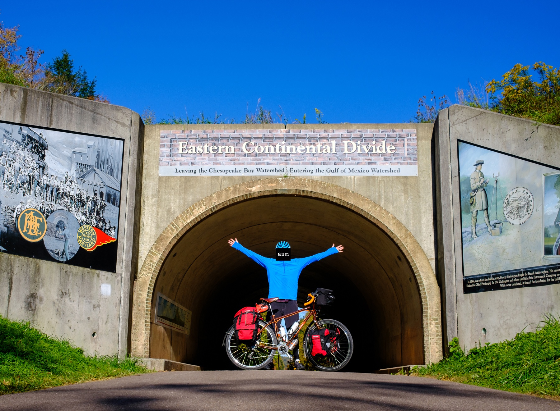
The road immediately turns gently downhill after the divide, and it seemed like I’d shifted into warp drive, the same amount of effort producing a noticeable increase in speed. Still basking in the glory of my first significant landmark of the day, I came upon the next: The Big Savage Tunnel.

It’s fashionable in some circles to decry any human attempt to modify the environment. Complex feats of engineering that were once lauded are cited as monuments to climate change and detrimental human impact on the earth. Yet, when faced with a tunnel bored straight into the heart of a mountain I could not help but be impressed by the vision, skill, and determination that it must have taken men with vastly more limited tools and technology to create this 3000′ tunnel through the mountain.
I couldn’t help myself to making train whistling noises, unconcerned with who might be within earshot. I chugg-a-chugged and choo-chooed my way through the tunnel, filled with marvel at this monument to industry, eventually bursting forth on the other side to blue skies and a view across the valley.
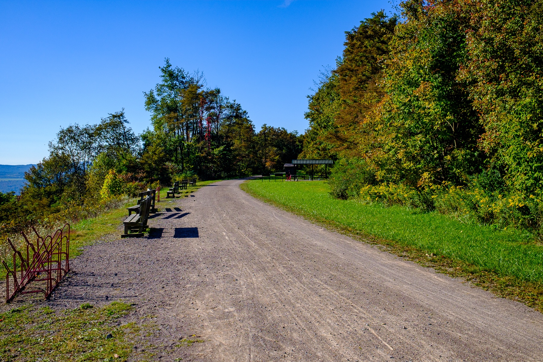
I admired the view, soaked up the sun, took a nature break, and made some adjustments to my bike. Looking back I noticed I’d passed under the windmills I’d seen in the distance before Meyersdale. It was an interesting juxtaposition of the old and new: a tunnel scratched through the earth and spindly, elegant windmills lazily turning in the sky. One a sleeping dragon and the other adding a somewhat strange and incongruous bit of flare to the otherwise natural ridgeline.
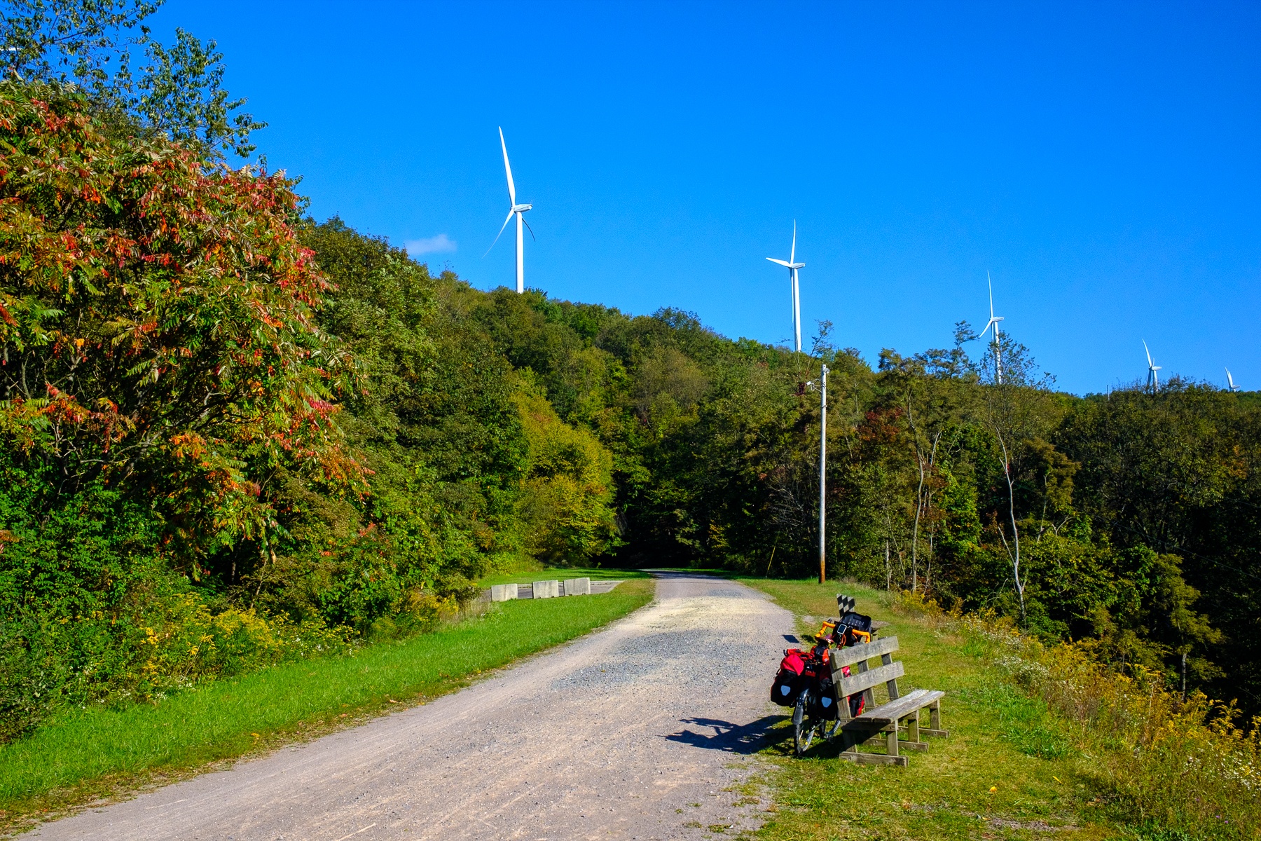
For the first time in the trip, I consistently flirted with, and flaunted the 15mph speed limit on the trail, passing an increasing number of people who were enjoying a sunny Saturday on the trail. Runners and cyclists of all stripes were making their way up to the tunnel and the divide as I sailed down, eventually rolling across the Mason Dixon Line.
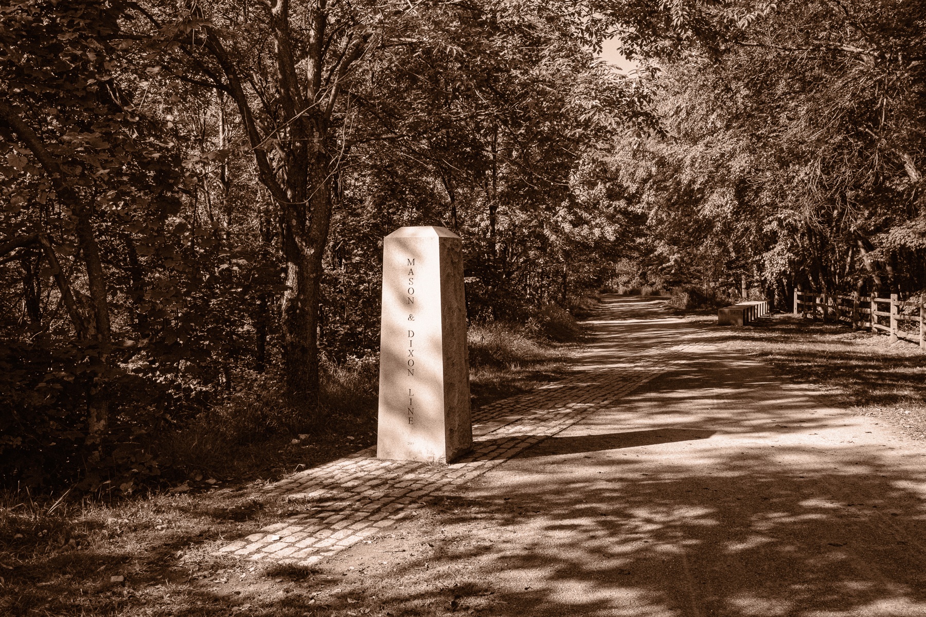
I wondered briefly what Messrs. Mason and Dixon, apparently two rather prominent surveyors in their day, would think of their names being associated with a boundary that’s associated with so much strife in this country. There must be hundreds if not thousands of long-forgotten “lines” named after the people that laid them on a map, but few that had this impact on history.
As the grade flattened, the trail became paved, running parallel to an active railroad grade, and ultimately rolling into the town of Cumberland, MD., where the GAP and C&O meet. Looking for lunch, I was slightly confused as a few fellow travelers standing on the sidewalk started cheering me on, until I realized I’d nearly rolled over the “official” mile 0 marker unawares. My newfound cheerleading squad was kind enough to take a photo.

One could again fell the pull of history, as the C&O Towpath is the path that serviced the C&O Canal, which for nearly 100 years transported goods by barge up and down a man-made canal. The aptly named towpath runs parallel to the canal, and allowed mules that were lashed to the canal barges to pull the barges up and down the canal. It seemed appropriate to pose with the ghosts of my fellow towpath travellers.

I had lunch at the Crabby Pig, apparently a GAP/C&O institution, and the crab soup provided a much-needed warming elixir, and sustenance for the start of the next segment of the adventure on the C&O Towpath.

A replica canal barge greeted travelers as they started (or ended) their journey on the 185 mile towpath, and I tried to imagine what it might be like walking alongside my mule team, contemplating a 185-mile walk down to DC with a barge in tow, in what was certainly far more wild country, as I looked back on Cumberland and bid my goodbyes to the GAP on a beautiful fall day.

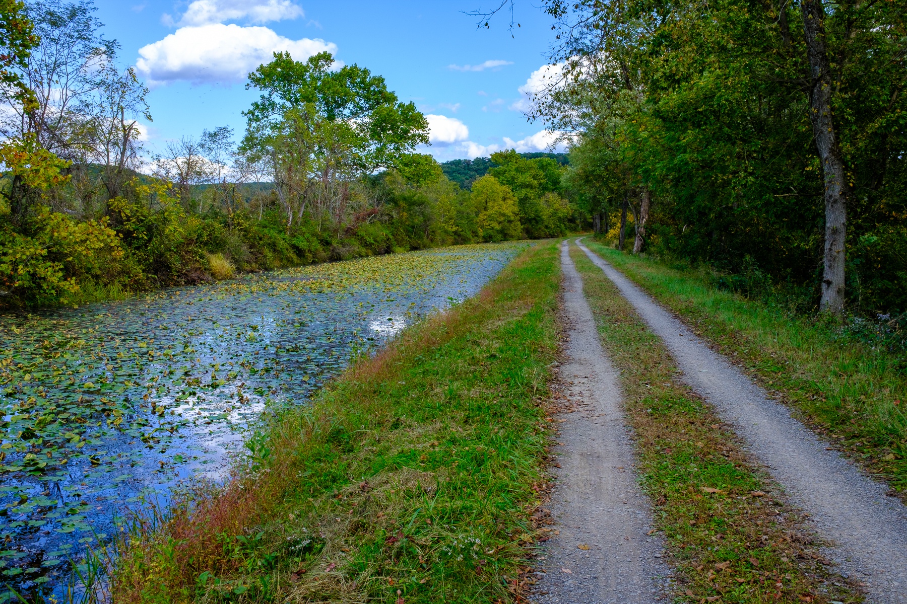
The towpath generally serves as a buffer between the Chesapeake river and the canal itself, which is in various states of disrepair, ranging from barely-recognizable ditch, to water-filled pond, to restored and still-functional canal at a few park service stops along the way. I’d wondered when researching the trip why the trouble was taken to build a canal when the river was so obviously nearby, and the answers were simple: rivers only flowed in one direction, a challenge without powerful engines, and various rapids and waterfalls blocked the journey.

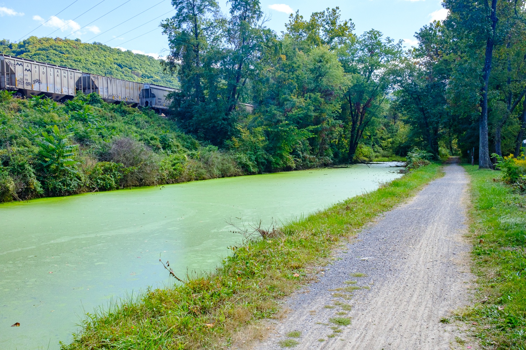
As I left Cumberland, I got my first glimpses of what would be a fairly typical section of canal that was still holding water. Interestingly, an active railroad runs next to the canal, or across the Chesapeake, for most of its length. According to various stories I’d heard or read, construction on the canal and the railroad north from DC were started at about the same time, on the very same day according to one telling. It became a bit of a race to see which could get north the fastest, and Pittsburgh was the ultimate prize, which the railroad achieved first essentially obsoleting the canal and forcing its closure in the 1920s.
A key feature of the canal is the 70-odd manually operated locks, that raised and lowered barges about 600′ over the journey from Cumberland to DC. These locks are in various states, and I’m told some have been restored to full functionality, while others are gradually being overrun by nature.

The other noteworthy feature is the lock keeper’s houses at most of the locks, which again are in various states from ruins to largely restored. Apparently a “benefit” of working a lock in the employ of the C&O company was being provisioned with a house, and an acre of land for a garden. Supposedly the company looked for “family men” who would have some company and extra hands to man the lock, as the keeper was expected to be available at all hours, on any day, to respond to the call of a coming barge.

Park Service intrepretive signs did indicate that this was a “men only” job, save for one woman who somehow proved herself badass enough to run a lock, which must have been an interesting test.
The trail was not as glassy smooth as the GAP, but was certainly not what I’d heard described as “single track,” which in my mind means a mountain biking trail replete with roots and rocks that’s more suitable for hiking than cycling. The path did indeed become a “single track” or pair of tracks, and was a bit more bumpy than the GAP, but nothing a standard road or hybrid bicycle couldn’t handle.
The final big bit of excitement on the day was the Paw Paw tunnel, in Paw Paw, WV. This was another 3000′ shaft bored through the earth that was started in 1836, and opened behind schedule in 1850.

There were a number of visitors in the tunnel, and I could just barely make out the proverbial “light at the end of the tunnel” before I started walking through, so I assumed I could make my way through without any extra light. This wasn’t my best idea, although it was much smarter than my brief flirtation with riding through the tunnel, as the path was very rough, and once into the tunnel I could not see my footing at all. I ultimately grabbed my iPhone and activated the flashlight, feeling a bit stupid knowing I had a much more powerful headlamp buried somewhere in a pannier that I’d neglected to take out before entering the tunnel, but I ultimately made it out, marveling at the brick and stonework that held up the tunnel.
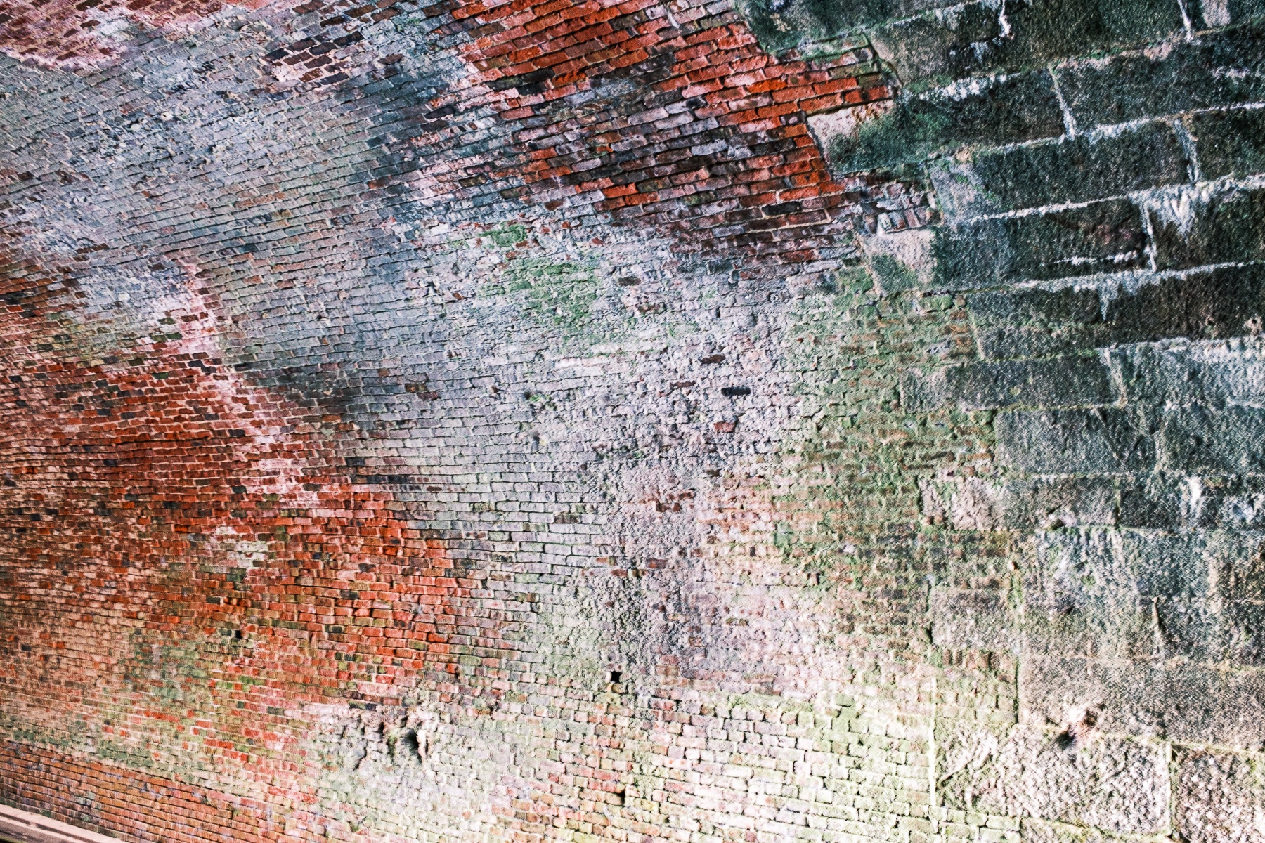
I successfully made it to the other side, once again admiring the engineering that created this structure almost 200 years ago.

With that, I continued along the towpath to the Indago Neck campground, where two other travelers had already pitched their tents and were having dinner. It had been a long day mileage-wise, but with my effort supplemented by the downhill grade I still felt fairly good.
The C&O has “hiker/biker” campsites every 4 to 15 miles or so, and each is generally equipped with a port-a-john, a fire ring or two, a picnic table, and a water pump. In some cases, one of these amenities might be missing, and most frequently the handle for the water pumps are missing. Some sites have amazing views of the river, while others are fairly uninteresting and small.
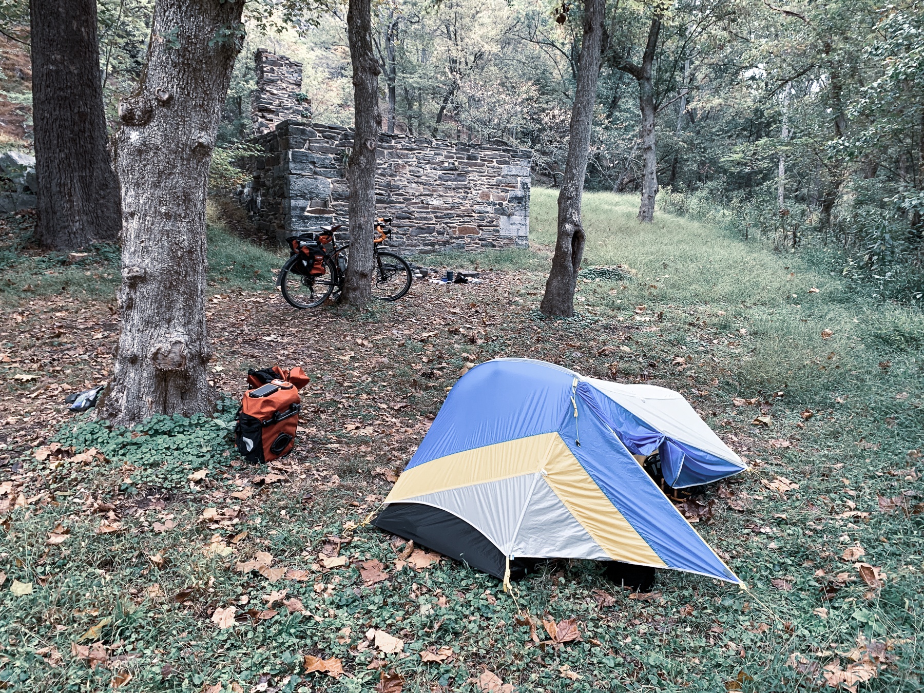
There was a method to my choice of Indago Neck. First off, it was next to the ruins of a lock house, which I thought would be interesting, and secondly, it looked to be a shade under 2 miles away from “Bill’s Bar,” a small bar in the town of Little Orleans.
I quickly setup camp, my tent still wet from the prior night’s freeze, and flew upriver on my unladen bike to Bill’s, which seemed to have every Light beer ever created on the menu, as well as incredibly reasonably priced, if somewhat lackluster food.
I downed a couple Blue Moons (the seemingly “premium” beer option), some OK crab cakes, and returned to camp as the sun set and I snuggled into a dry and cozy tent.


0 Comments