Max elevation: 6192 ft
Min elevation: 1314 ft
Total climbing: 9346 ft
Average temperature: 25
Total time: 14:07:35
I’d made a miscalculation. Whenever I’m executing a longer activity, whether building a deck or running any meaningful distance, I’ll play mental games and break the larger effort down into chunks, calculating percentages, estimating travel times, setting interim goals, and all sorts of meaningless mental gymnastics both to provide a nearer-term goal, and to keep my mind occupied. In this case, my gamesmanship had underestimated the distance between my first water stop at the Madison Springs Hut, and my next water stop at the summit of Mt. Washington by about half, causing me to take on about a liter of water at Madison Springs rather than the 2 liters I should have taken on.
This miscalculation was brought into stark relief when I felt the slight increase in resistance as I sucked on my hydration bladder, while staring at a couple miles of exposed, bolder strewn ridge line between me and my next water stop.

The day had started well enough, despite this being a bit of an ad-hoc endeavor. I grew up in New England, and had made dozens of visits to the various summits of the Presidential Range over the past three decades, but only in the last few years heard of the “Presidential Traverse,” a single-day hike or run (or in my case, what we’ll call an “amble”) across seven summits over the course of about 20 miles, with around 9,000′ of elevation gain. Like all things discussed on the internet, there is of course debate about which peaks should or should not be included, and whether a traverse is “legitimate” based on some keyboard warrior’s definition.
I typically ride the Tin Mountain Century 110 mile bicycle ride each summer, but with COVID lurking the ride was cancelled, and with a desire to do something difficult, and what felt like just enough fitness to pull it off, I found myself buzzed awake by a 3:30AM alarm clock, which had me standing at a dark and quiet Appalachia parking lot in Randolph, NH by 4AM. Headlamp on, I locked the car, donned my trail running vest, took a last “nature break” and then walked forward into the tiny beam of light thrust into a dark and quiet forest.

The initial ascent up the Valley Way trail was straightforward, and save for a couple of huge toads that leapt out of my way and inspired a small leap on my part as well, there was little company save for the bubbling of Snyder Brook and rapidly fading sound of the occasional truck or car. I don’t do a lot of night trail running, but it seemed a fittingly solemn time to consider the task at hand. This would be my longest run/hike, over tough terrain, into an area known for rapidly changing and potentially deadly weather.
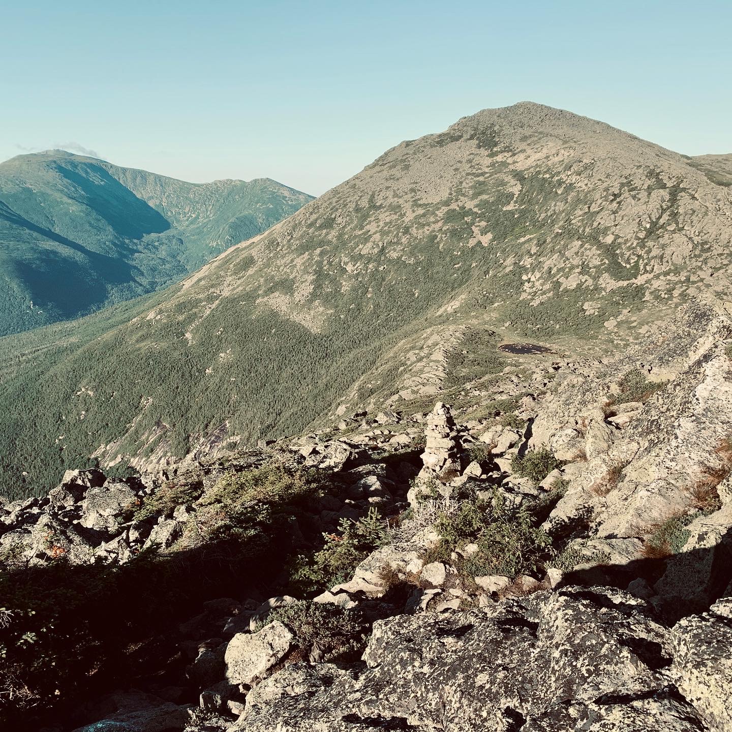
Sun began breaking through the trees as I approached the saddle between Mt. Madison, the first summit, and Mt. Adams, and the trail became increasingly rocky. According to people smarter than I, these mountains were once rugged peaks similar to the Himalayan mountains in height, only to be ground down during the ice age from muscled, tall teenagers, to hunched old men, with countless granite boulders the eons-old “sawdust” that remains from this grinding process. This provided Mt. Washington the nickname “the rockpile,” which is apropos and almost makes one wonder if there’s really a mountain under what seems to be the world’s largest stack of giant, abrasive granite chunks.
I made decent time to the Madison Springs Hut, attempting to pace myself to keep my heart rate in Zones 1 and 2, to prevent any risk of a bonk, preferring “slow and steady” for my first attempt at a traverse. After verifying that the rumored taps were indeed in place and operational at the hut, I took a quick left and summited a windy Mt. Madison. Every time I’ve hiked in the Presidentials, the wind is a constant companion, and I’d armed myself with a light “solar hoody” that I donned for the ascent. Sitting on the summit, the clear skies and rising sun provided a view of what lay ahead, and I felt cautiously optimistic that all systems were “go” and I’d covered about half the vertical for the day.
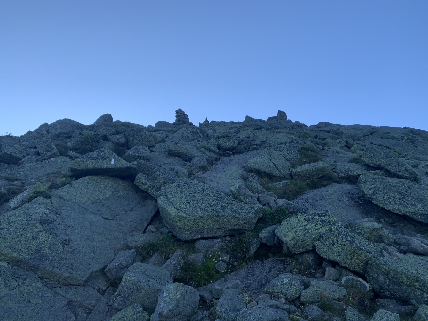
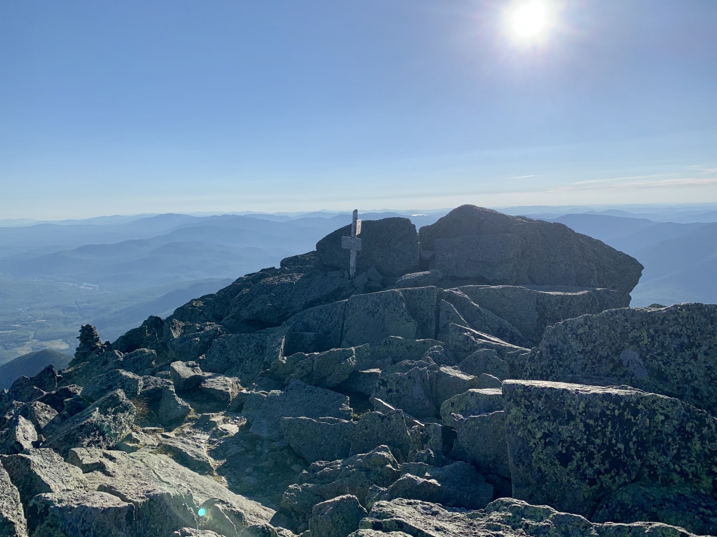
I ambled down the Madison summit, returning the way I’d come while passing a couple other people out attempting the traverse. Upon reaching the hut, I filled my hydration bladder to about half it’s 2 liter capacity based on the overly complex and wildly inaccurate calculations I’d made coming down the summit of Madison, and after a quick Clif bar, I was off on the Star Lake trail and the summit of Mt. Adams and more classic White Mountain “bouldering.”
The weather was growing surprisingly warm and windless, exceptional since there was still snow on the mountains a few weeks earlier. Around the time I realized my water miscalculation, I also discovered that my iPhone, which was serving as my camera, had a setting buried deep in the “Accessibility” menu that had apparently been turning the device on repeatedly in the pocket of my running vest, draining about half the battery over the first 20% of the hike.
Phone problems resolved, water problems realized, and Adam summited, I descended to the Gulfside Trail, part of the storied Appalachian Trail, summitting Mr. Jefferson and marveling at the Gulf of Slides, a massive boulder pile off the western side of the mountains. The trail then joins the Cog Railway for the final push to the summit of Mt. Washington. The railway essentially uses massive gears as wheels, pulling up a toothed “track” that allows the engine to claw its way up the steep slopes. In my youth, the railway was still steam-powered, and you’d hear the unmistakable huff and puff, and steam whistle as it chugged up the summit with loads of summer tourists. Now, it’s apparently powered by biodiesel, the plumes of coal smoke replaced with more environmentally-friendly exhaust, and the pleasant sounds of steam locomotion unfortunately replaced with a dull droning.
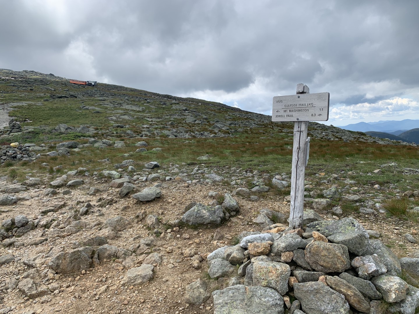
If you’ve never been, the summit of Mt. Washington is a surreal place. Not because of its legendary weather, granite-strewn summit, or tales of lives lost trying to reach its heights, but because it’s readily accessed by any human willing to hop in their car, or pay the fare for a Cog Railway or “coach” (aka Ford Econoline van) ride to the top. It’s a bit like crossing the finish line to a marathon, and amongst a few exhausted fellow runners finding hundreds of people wearing crocs and eating Flamin’ Hot Cheetos.
I’m all for ensuring everyone has access to the outdoors, especially since access can be the first step to longer explorations and preservation, but as my burning quads pushed me up to the summit one of the first things I saw was a couple of rather portly fellow citizens walking out of the summit building and promptly dropping their bag of candy and soda, Skittles and Coke spraying like a rainbow grenade.
The line for a photo on the actual summit was 40 deep, full of people that hadn’t expended more than a dozen calories to walk from their car to the official sign, so I snapped a pic a dozen feet shy of the actual summit and hustled on in search of water.
Due to COVID the summit building was closed unless you’d made a reservation, so I was directed to a tap near the parking area. At this point I would have drank swamp water, but what flowed from this innocuous and jury rigged rubber contraption was nothing short of the nectar of the gods: ice cold, crisp, and delicious water that tasted so pure I swear I heard angels singing as I greedily quaffed a half-liter from a soft flask.
I must have regarded the gent who was filling his bottles with such hungry eyes that he immediately paused and gestured for me to return to the tap. Two liters immediately consumed later, and I was ready to fill my hydratinon bladder for the next segment of the journey to the Lake of the Clouds Hut.
The hike down from Mt. Washington to Lakes was joyful. The sun was shining, and I felt strong, a feeling that only grew as I watched people stuggle up to the summit of Washington since this was a common hike for people that had taken a car up as the distance seemed quite reasonable on paper, their apparent stuggle fueling my feeling of strength. I guess it’s unkind to get strength from the struggles of others, but for along time I was the unfit, overweight person huffing and puffing rather than the person with half the traverse under their belt.
The Lakes in the Clouds Hut was open in a limited capacity, and I was less concerned with their COVID-related modifications than the fact that they had cheese quesadillas available. It was unclear whether the quesadilla was in fact the most wonderful cheese-filled concoction I’d ever consumed, or my body was craving anything hot and calorie-dense, but the quesadilla was borderline life-changing.
Now full of vim, vigor, and cheese, I ambled away from the hut while occasionally stopping to admire the miles I’d treked.
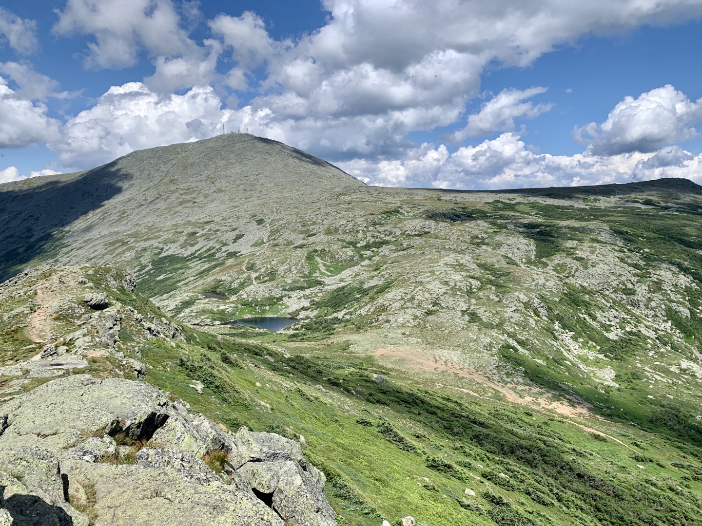
After Lakes, the crowds thinned out a bit, and the hiking was more undulating and fast, with incredible ridgeline views up on over Mt. Monroe towards Mr. Esienhower.

“Ike” presented a bit of a challenge, with a slight “kick” up to his summit. Eisenhower was also the beggining of the end of the stunning ridgeline views, and the trail began to duck in and out of scrub pine. I was beginning to feel the effects of the miles, and surprisingly, the heat. I’ve never been hot above the treeline in NH since there’s always rather agressive winds and cool temperatures, but today the air was so still that bugs were out, another phenenomon I’d never witnessed.
On some level I was getting to the point where I wanted to be done, but the “finish line” was just far enough out of reach I needed a bit of a pep talk, and proceeded to give myself exactly that as I found occasionaly opportunities to run with minimal fear of twisting an ankle. The undulating and comparably fast terain lasted until past my final summit of Mt. Pierce, where the trail then dropped quickly to the Mizpah Springs Shelter and my final water stop.
Thankfully my GI system had held up like a champ, as the hut bathroom was full of flies and funkier than James Brown, so a quick and final water fill, nosh on a Clif bar, and I was off for the final push.
After a welcomed level section, the trail rejoined the Crawford Path for a boulder strewn final couple of miles to the Highland Center in Crawford Notch. This was tough on my feet and ankles, which were ready to call it a day, and mentally tough as the feeling of just wanted to be done accelerated. At one point I swore I heard a crying child, and sure enough, rounded a corner to find a husband and wife with two small chilren in carriers, the smaller one blissfully asleep while the larger one screamed about wanted to walk. Not wanting to intrude on a tense negotiation I gave a quick hello and continued down, joining the rather lovely Gibbs Brook and eventually hearing the sweet sound of automotive traffic.
I got a few more yards of running in, and then made the best sprint I could muster after 14 hours to cross three lanes of Route 302, just past the summit of one of my favorite climbs on the bike.
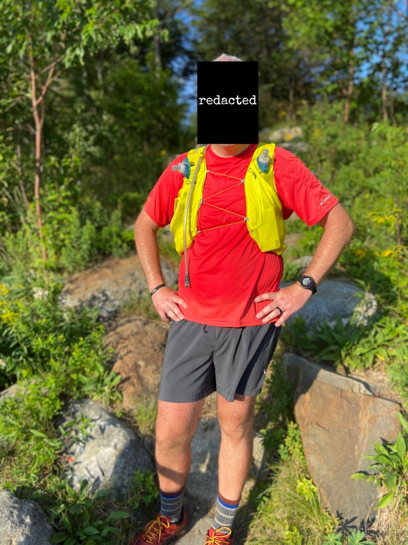
I met my family, who was roaming the parking lot just as I burst through the trees after crossing 302, a meeting that could not have been better planned had I attempted anything beyond an “I should be in the parking lot in about an hour” message I’d sent via my Garmin InReach as I descended from Mizpah Springs. Hugs and high-fives exchanged, we loaded into the car and began planning the logistics for rapid ingestion of beer and a recovery burger.
This is a classic hike, and while I missed my loose 10-hour goal but a rather significant margin, my pacing and rest stops kept me well away from any bonks or significant struggle. I’d undertrained for the effort since it was a somewhat ad-hoc endeavor, so that drove a more cautious pace on my part.
In retrospect, I wouldn’t have changed anything about this as a first, solo, attempt. I didn’t end up needed my wind shell, gloves, or emergency biouvwac, and probably could have travelled lighter, but it was cheap insurance and it all travelled well in my running vest. My minor water planning mishap was a stupid error but not irrecoverable based on the number of hikers, and my only other regret was not applying sunscreen more dilligently as the cool weather and altitude conspire to burn persons of pallor a bit more agressively than you realize.
I’ll likely be back, perhaps with company, or perhaps I’ll step up to the other NH classic single day hike and attempt a Pemigewasset Loop. If you have reasonable fitness, good weather, and are looking for a challenge, a Presi Traverse should be in your future.


0 Comments